Data
Capturing Data From Our Projects
Northern Water collects real-time flow data for the Colorado-Big Thompson Project and Windy Gap Project. The data for selected canals, streams, rivers, reservoirs and watersheds can be viewed and downloaded through our website portal.
Northern Water Data PortalState of Colorado Data
Northern Water pushes its data to the State of Colorado, which is available on the state's data portal.
State of Colorado Data PortalAccessing and Navigating the Data Portal
Northern Water’s data portal provides access to a range of hydrologic, water quality and climate data collected throughout our boundaries. The datasets support water operations, environmental stewardship, regulatory compliance, scientific research and public transparency.
Learn more about the portal through the guide with details on stations, filtering and more. You can also explore examples that can guide how you locate and view time series and water quality data, a weather summary, as well as details about web services.
Data Portal Guide Navigation Examples Data Web Services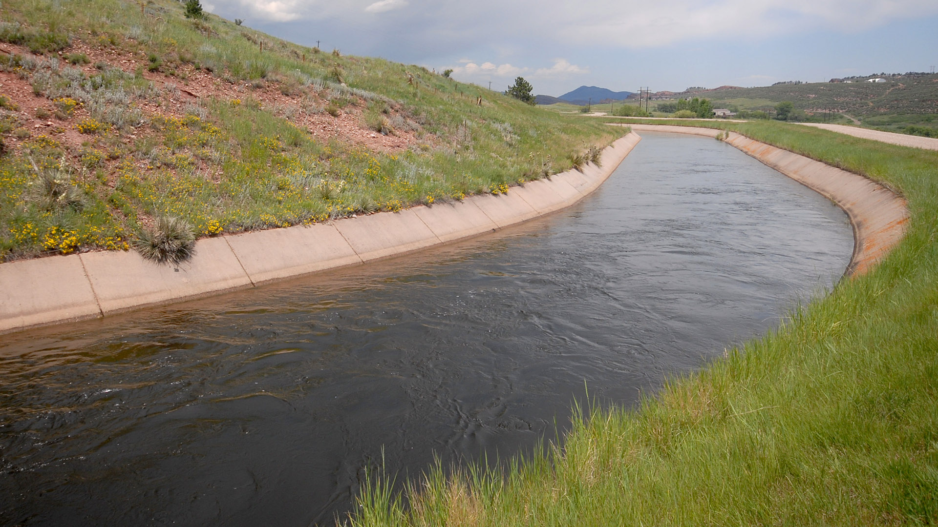
Available Data
Water Data
Surface Water (Continuous) Data: Data is collected on 15-minute or hourly time-steps, depending on station configuration. Daily averages and summary time series are available at many, but not all stations and parameters. Data types include stream flows and reservoir levels.
Water Quality (Continuous) Data
Water quality monitoring is generally conducted at 15-minute intervals using a variety of sensors deployed in streams, canals, reservoirs and operational infrastructure. Data types include dissolved oxygen, temperatures and turbidity.
Water Quality (Discrete) Data
Discrete water quality samples are typically collected monthly, dependent on program objectives. Samples are analyzed by certified laboratories across the United States. Detailed information about sampling locations, frequency and parameters is available in Northern Water’s Monitoring Program Summaries. Data types include metals, ions and nutrients.
Biological Data
Coming soon, Northern Water will begin publishing biological data to better understand aquatic ecosystem health and support environmental stewardship efforts. Data types include phytoplankton, zooplankton, macroinvertebrates, and fish and algae.
Climate/Weather Data
Weather and climate data are collected throughout Northern Water’s boundaries via our regional weather station network. These data support water conservation, municipal and agricultural irrigation management, supply forecasting, reservoir operations and environmental modeling. Data types include reference evapotranspiration calculations, air temperature, wind speeds and precipitation.
FAQs
Q: What is a ts_id?
A: A ts_id is the unique identifier assigned to each timeseries within Northern Water’s data management system. This identifier ensures that every timeseries can be distinctly referenced and queried through the data portal or web services.
Q: How do you aggregate your daily values?
A: We only generate daily values if a day has a minimum of 88 15 min interval datapoints. The WISKI agent is ‘mean,min,max time weighted’.
Q: Do you use UTC? How do you handle daylight savings?
A: The sensors in the field for climate/weather data do not account for daylight savings, this will be one hour behind during Mountain Time (MT). All of the timeseries and discrete data is set to MT or Mountain Standard Time (MST).
Q: Why do the Rain Total and Difference in Precipitation parameters report different values?
A: These parameters originate from two different types of precipitation gauges.
- Tipping bucket rain gauge – Measures rainfall by counting the number of times a small bucket tips after collecting 0.005 inches of water.
- Weighing bucket precipitation gauge – Measures precipitation by weighing the collected water (or snow). More accurate for snow and mixed precipitation.
The difference in Rain Total is measure by a tipping bucket rain gauge and the Difference in Precipitation is measured by a weighing bucket precipitation gauge. Tipping buckets do not measure snow accurately because snow that falls in the funnel can blow out before it melts and typically the snow will melt well after the snow has fallen. Northern Water removes the tipping bucket rain gauges from the beginning of October to the beginning of March to add snow-related inaccuracies. The tipping bucket mechanism will only tip when 0.005 inches of water drips through the funnel.
Q: Why does Difference in Precipitation parameter have negative values?
A: Data from a weighing bucket inherently has some signal noise from the electronic sensor that literally weighs the precipitation that falls into or is collected in a bucket. Positive differences in weight indicate a precipitation event, negative differences can be from evaporation—hence an oil film is utilized to prevent such. However, slight negative differences can occur, particularly from wind that can slightly shake or vibrate the weighing bucket gauge. Daily differences use only two values—midnight at day start and midnight at day end. If either of these values were impacted by noise, false indications of slight precipitation or evaporation could result. Post processing can remove this signal noise but is not currently provided for the data sets on our website. Over long periods of time the weighing bucket noise tends to cancel out.
Q: How is calculation of daily ET is reported at the end of the interval?
A: EOD values are stored in the following day. Ie) April 2 EOD would be reported at 00:00:00 on April 3.
Q: What is Water Quality Site ID?
A: A Water Quality Site ID is a shorthand unique identifier for our water quality monitoring locations than can be used in place of a longer station name. These generally follow the syntax of two letter body of water code followed by a three or four letter identifier to indicate location or nearby landmarks. Example: Colorado River upstream of Shadow Mountain Reservoir is CR-SMU for Colorado River – Shadow Mountain upstream.
Q: When pulling data from your database using the API, it looks like time is missing from all of the data. Time (and the time in timestamp) seems to be 1:00 AM for everything. Is that accurate?
A: The field with 1:00 AM is the Event level timestamp. This is manufactured with the 1:00 AM to allow for multiple samplings to group together in one result set. There is an additional field under the optional returnable fields, the “sample_timestamp” which gives the discrete date/time combo for each result.
Q: What is an CR/SR/SQR?
A: The Sample Number column includes field replicate identifiers including: CR/SR/SQR which stand for Concurrent Replicate, Split Replicate and Sequential Replicate. These samples are taken as part of Northern Water's QAQC Procedures. For more information, please reference Northern Water's Water Quality Monitoring Standard Operating Procedure.