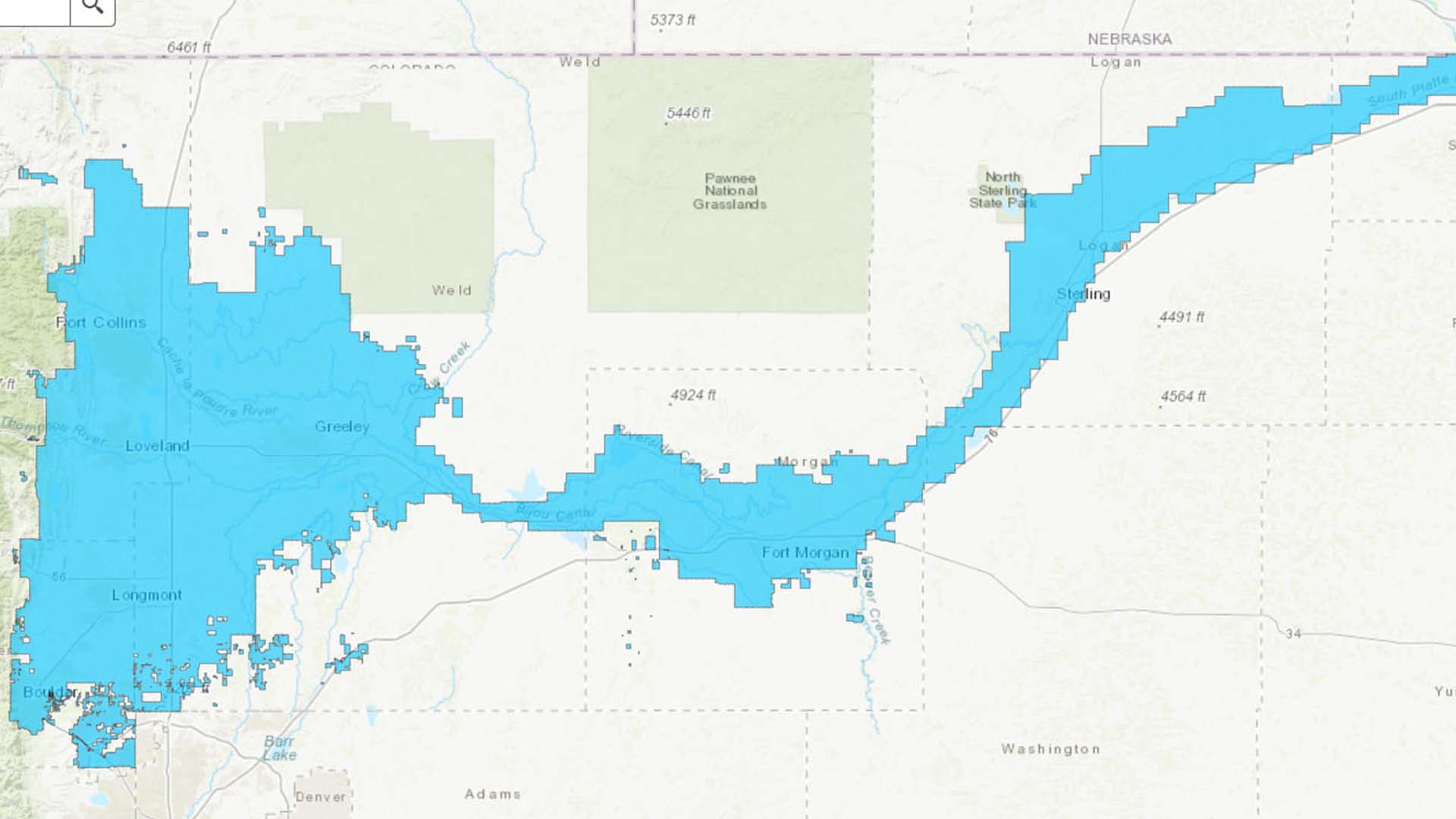
Geospatial data connects information to a physical location, allowing people to visualize, analyze and understand how natural and human systems interact across the landscape. By combining location with information, geospatial data helps reveal patterns, relationships and trends that can support better decisions about resources, infrastructure, conservation and communities.
Geospatial data can represent natural or human-made features and is commonly organized as vector features, raster imagery or location-based datasets that support visualization, analysis, planning and decision-making. At Northern Water, geospatial data includes GIS, GPS and remote sensing. Northern Water uses geospatial data across a variety of our projects to support planning and management.
Disclosure for Geospatial Data Sharing at Northern Water/Municipal Subdistrict
Geospatial data held by Northern Water or the Municipal Subdistrict may constitute confidential specialized details of critical infrastructure and, as such, may not be subject to public disclosure. In addition, to the extent any geospatial data relates to infrastructure owned or operated by the U.S. Bureau of Reclamation, disclosure of such data may also require approval or consent from the U.S. Bureau of Reclamation.