Weather Data Uses and Overview
Our weather data supports a wide range of users, from consultants leveraging it for advanced data augmentation to producers relying on it for traditional irrigation management. Internally and externally, the data are used for irrigation scheduling, generating weather-related maps, informing field operations and providing localized information such as rainfall, air temperature, and other key parameters for media and decision-making. Rainfall and precipitation data also support analytical applications, including the calculation of precipitation and drought indices for modeling purposes. Additionally, these data play a critical role in water resource management, such as tracking river administration, estimating ditch water demand and supporting reservoir accounting through evaporation measurements.
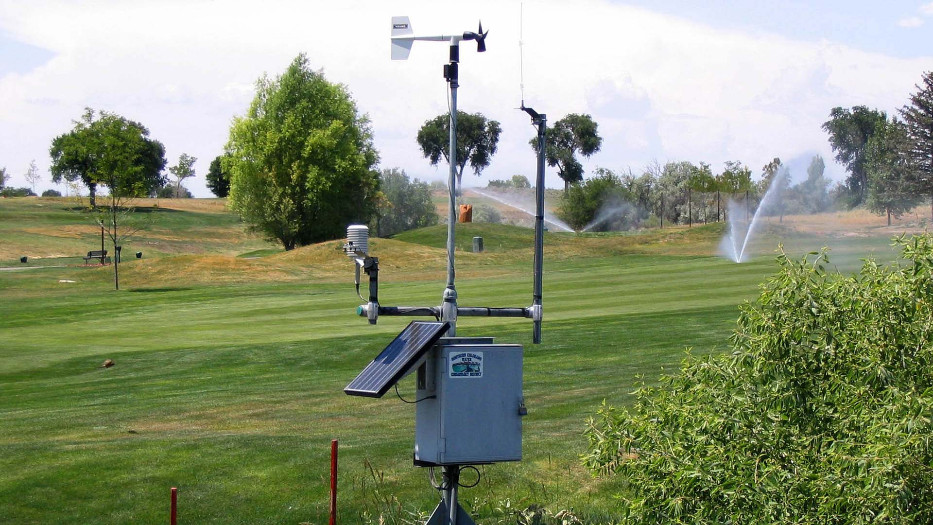
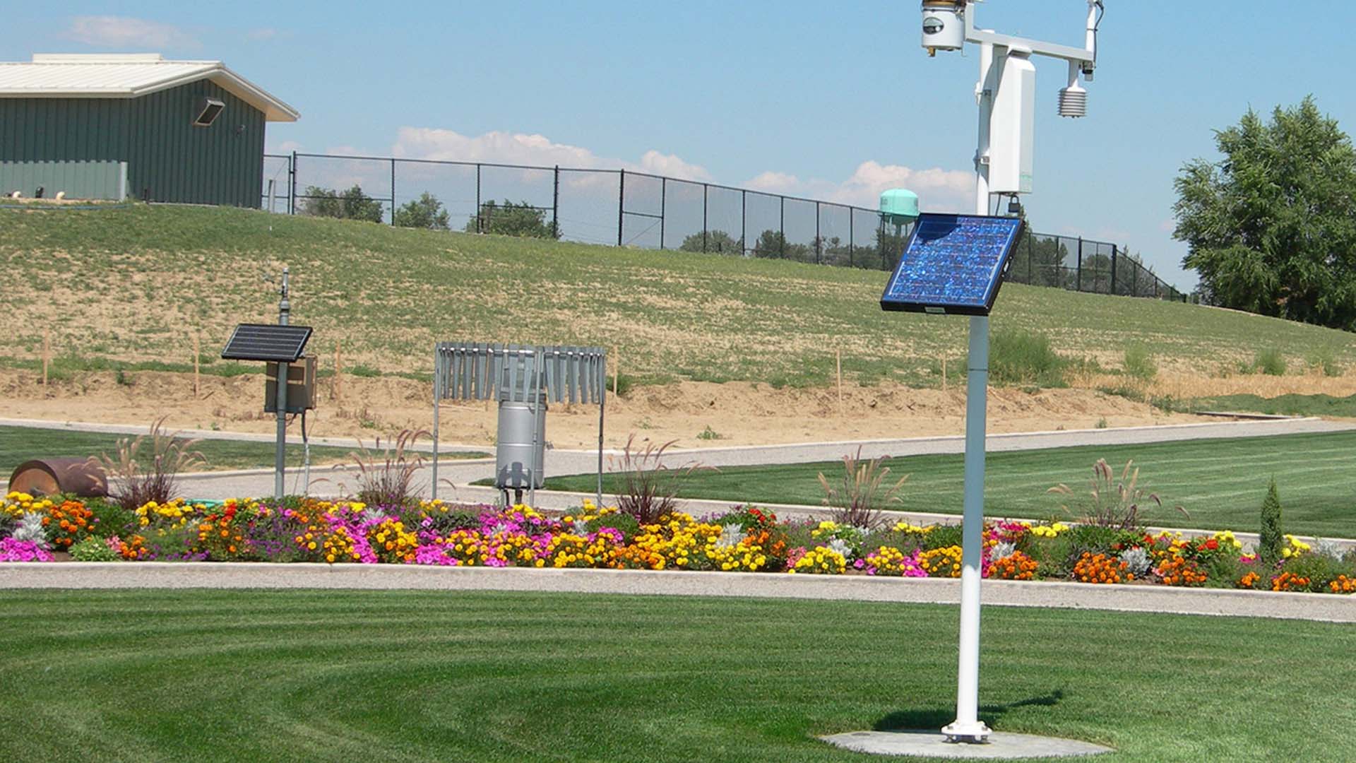
The weather network itself has evolved over several decades. Some agricultural stations in the eastern portion of the service area have collected data since 1993–1994, while stations in urban areas along the Front Range were added beginning in the early 2000s. Today, the network delivers near real-time data through automated collection and telemetry systems. Each station is equipped with sensors measuring wind, air temperature, humidity and solar radiation, with air temperature often redundantly monitored for accuracy. Most stations include weighing bucket precipitation gauges, and nearly all are equipped with rain gauges, ensuring comprehensive and reliable weather monitoring across the network.
Weather Station Locations
Northern Water’s weather network currently consists of 23 weather stations. Twenty-one are located on the Front Range and eastern portion of our boundaries, while the other two are on the West Slope.