Colorado-Big Thompson Project
12
35
95
8
700
Delivering Water to +1.1 Million People
How the Project Works
-
Planning
Investigating and planning the C-BT Project involved a great deal of ingenuity and time exploring the mountain peaks and valleys of Colorado’s Northern Front Range. While the project incorporates a complex system of reservoirs, pump plants, tunnels, pipelines and power plants, at its core the C-BT Project relies on two basic forces of nature: melting snow and gravity.
-
Snowmelt
Nearly all of the project’s water originates as snowmelt from the Upper Colorado River Basin in Rocky Mountain National Park and Grand County. About 80 percent of Colorado’s precipitation falls on the West Slope of the Continental Divide, primarily as snow. In contrast, northeastern Colorado receives only about 14.5 inches of precipitation each year — far less than the amount needed for most irrigated crops, which typically require at least twice that.
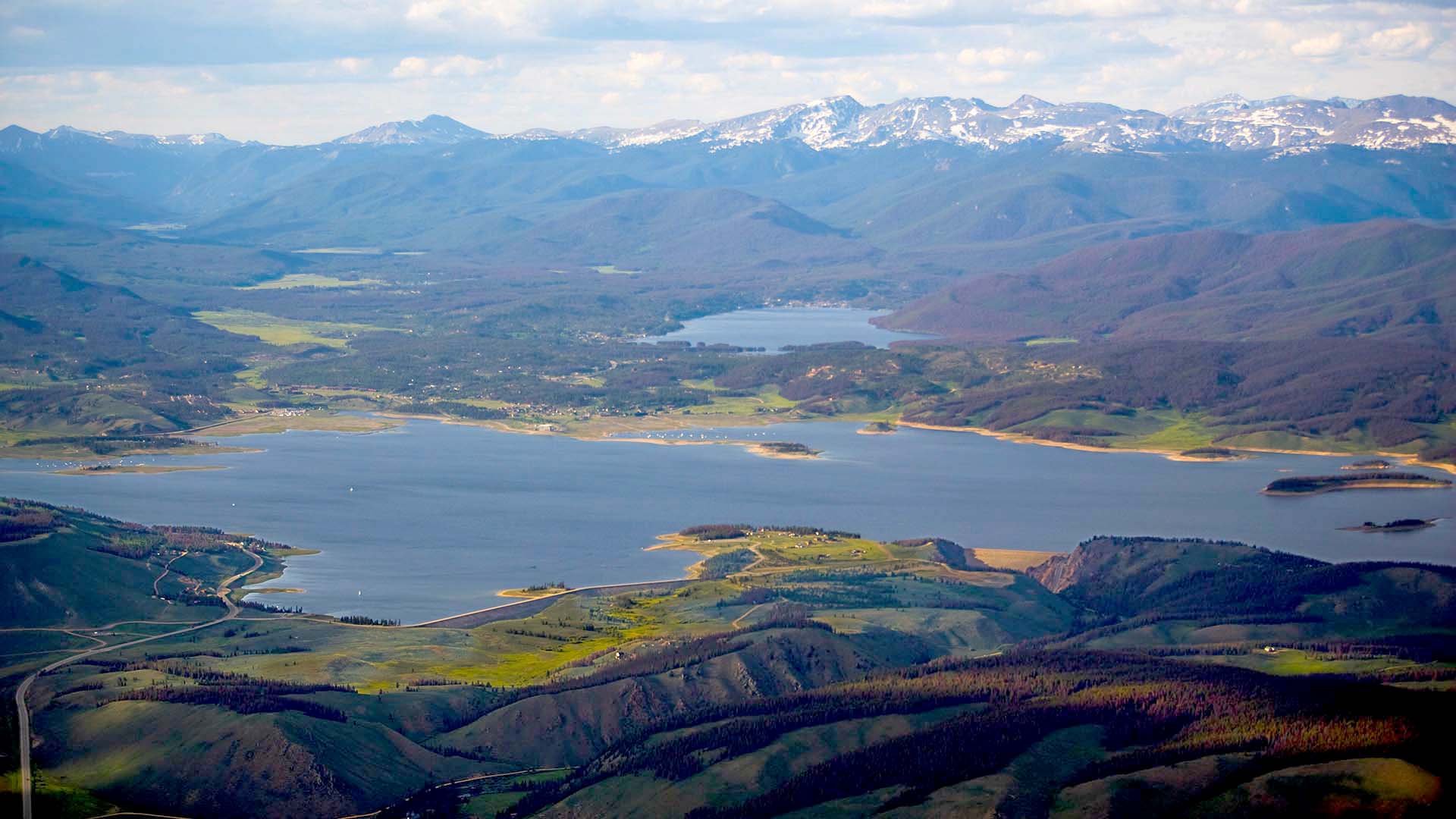
For comparison, Midwestern states like Illinois average around 40 inches of precipitation annually, while East Coast states such as Maine receive nearly 50 inches. To manage this limited supply, snowmelt is captured and stored in Lake Granby — the second-largest body of water in Colorado.
-
Through the Tunnel
From Lake Granby, water is lifted by Farr Pump Plant into the Granby Pump Canal feeding Shadow Mountain Reservoir and Grand Lake. Water then flows from Grand Lake into the West Portal of the 13.1-mile Alva B. Adams Tunnel.
-
Flowing by Gravity
Once water exits the tunnel’s East Portal, it descends the Front Range mountains nearly 3,000 vertical feet and passes through five power plants and four reservoirs. The hydropower generated provides a clean, renewable supply of power for Northeastern Colorado and the Western United States.
-
Storage and Delivery
Along the Front Range foothills, C-BT Project water is stored in three terminal reservoirs — Horsetooth Reservoir, Carter Lake and Boulder Reservoir. These reservoirs provide both storage and great opportunities for water-based recreation, including boating, fishing, waterskiing, swimming and more. From these reservoirs, C-BT Project water is distributed via a series of canals and pipelines to irrigated farms, as well as industries, utilities, cities, towns and rural domestic water districts. A total of 32 municipalities receive a portion of their water through the C-BT Project, along with 120 ditch, reservoir and irrigation companies.
Interpretive Area